

Find Grid-Ready Sites Before You Commit Capital
Screen solar, wind, battery and hybrid sites against transmission lines, substations, existing generation and terrain, across 225 countries and updated daily.
225 countries • Updated daily • ISO/IEC 27001 certified • GDPR compliant • Cancel anytime
The Questions Every Site Has to Answer
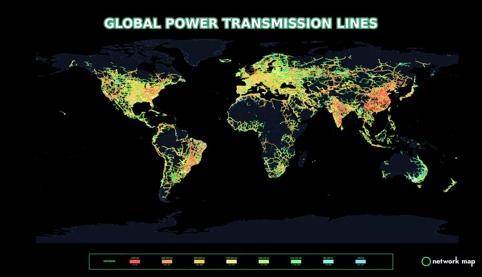
Everything You Need to Screen a Site
Transmission & Distribution Networks
Transmission, sub-transmission and low-voltage networks by network business, with substations and voltage levels.
Power Stations & Renewable Projects
Existing generation and renewable energy projects by energy source, so you can see what is already in the area.
Distance & Nearest-Asset Analysis
Measure distances, find the nearest substations and lines, and generate Voronoi catchments around network assets.
Terrain, Slope & Shading
High-resolution terrain, elevation contours and dynamic shadow modelling for slope, aspect and solar viability.
NEM Constraint Analysis
Constraints map, constraint sets, constraint equations, dispatch marginal values and constraint investigation from AEMO data, to understand curtailment and congestion risk. See the NEM suite or try the free live constraint map.
Connection Readiness & Hosting Capacity
The Feasibility workbench captures a site, sizes generation and storage, and checks connection readiness and hosting capacity, then exports a presentation.
Smart Single-Line Diagrams
Interactive electrical topology with substation and feeder analysis.
Export for Connection Studies
Hand shortlisted sites to your engineers with PSS®E and CSV exports.
Renewables Project Pipeline
Our free, open-access renewables pipeline shows proposed and operating projects by country, with CSV, GeoJSON, GeoPackage and KML downloads.
From Map to Shortlist
Search a region, or right-click any location to load the network layers around it.
Measure to the nearest substations and lines, then check terrain, shading and nearby generation.
Shortlist the best sites and export the data for detailed connection studies.
“NSW Department of Planning and Environment utilised Network Map in the creation of Renewable Energy Zones (REZs).”NSW Government, Renewable Energy Zones
Recommended: Pro, $150/month
Everything in Analyst plus smart single-line diagrams, Google Solar integration, PSS®E and CSV export, scenario modelling, engineering studies and Markets.
Trusted by Energy Leaders
Developers, consultants, governments and universities use Network Map every day.







Start Free, Upgrade When You Need Full Access
Create a free account in minutes. Plans from $75/month, cancel anytime, invoices available.
Network Map for ConsultantsInvestorsData CentersNEM ConstraintsElectricity MarketsAPI & Integrations


